Development of Vegetation and Water-Related Ecosystem Monitoring Application
Our planet faces growing environmental threats, from extreme weather to declining ecosystems. Despite the powerful satellite technologies that exist to monitor our environment, the data is often locked away in complex systems, inaccessible to those who need it most.
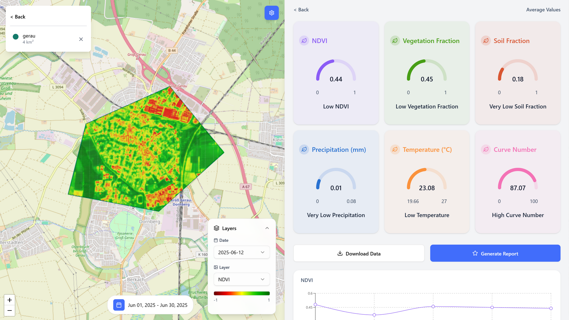
This project changes that. In collaboration with RSS-Hydro, we have built a user-friendly web application that harnesses the advanced HydroSENS algorithm to analyze satellite imagery in real-time. Our platform transforms this complex data into clear, actionable insights on vegetation health and water resources.
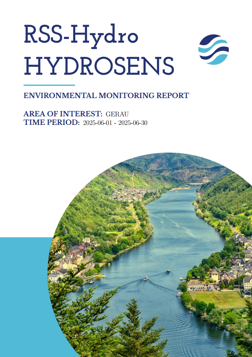
With an interactive map, users such as farmers and conservationists can select any region on Earth for analysis. The system then visualizes key environmental metrics with intuitive graphs and generates easy-to-understand, AI-powered reports. These summaries can be downloaded in both PDF and CSV formats.
By making sophisticated Earth Observation science accessible to everyone, we empower communities to make smarter, data-driven decisions for sustainable land management and climate resilience. Our goal is to bridge the gap between cutting-edge technology and practical, on-the-ground environmental action.
Project Snapshots